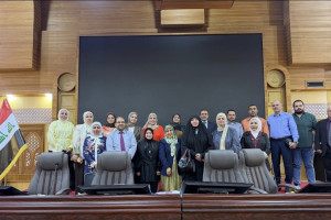
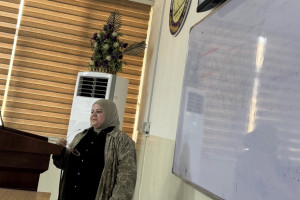
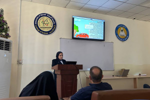
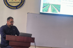
The Department of geoscience at the college of Science discussed a master's thesis entitled (morphotectonic analysis of the Shatt al-Arab and bahmanshir rivers in the Iraqi-Iranian region using remote sensing techniques) by researcher Abdullah Hatem Hassoun
The practical side has relied on the integration of satellite imagery (Landsat) and digital elevation models (DEM) for several decades. The modified water index (MNDWI) has been applied to accurately extract river courses and calculate meander index (SI . The study concluded that the meandering patterns of the Shatt al-Arab and bahmanshir rivers are an obligatory geomorphological response to constant tectonic stress and activation of deep faults. It also concluded that river meandering is a supporting indicator for identifying hidden tectonic structures in southern Iraq. The study recommends the constant use of morphotectonic indicators and the analysis of river meanders as a reliable tool for exploring hidden deep geological structures. It is also recommended to intensify the use of multi-sensor remote sensing technologies to monitor topographic responses to any future tectonic activity.
Important News
viewed most